Amazing that some people (Donald Trump included!) still don’t believe in Climate Change, though the planet’s fish clearly do, and indeed they are already reacting to it.
One of the most widespread impacts of climate change is the global redistribution of marine species, or species ‘range shifts’, as our natural systems respond to changing environmental conditions.
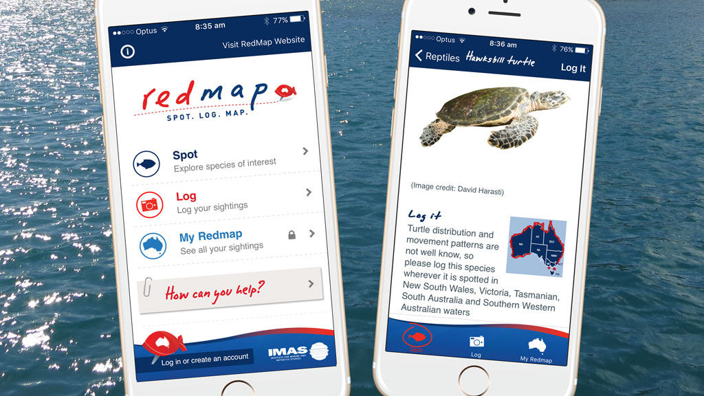
Redmap (Range Extension Database & Mapping Project) is an exciting interactive project which engages and inspires citizen scientists across Australia to become involved in and aware of what is happening in the marine environment.
The project is centred on a website and phone app facility encouraging members of the community to report sightings of marine species observed outside their normal distribution range.
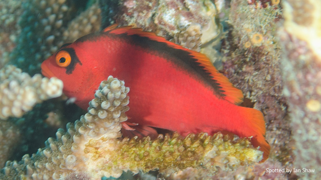
Flame Hawkfish (Neocirrhites armatus) was observed near Coffs Harbour recently; which is over 200km south of reported distribution range.
The identification of possible range shifts in our marine species is critical for understanding the impact of climate change on ecosystems and on our ability to be appropriately prepared to respond in a way which maximizes opportunities and minimizes negative impacts.
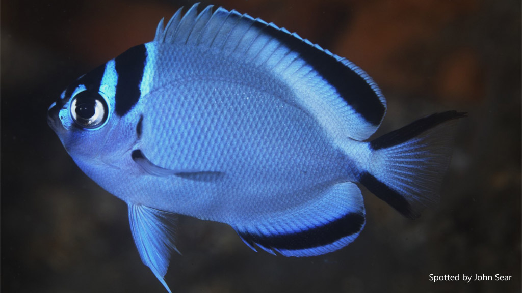
Watanabe’s Angelfish (Genicanthus watanabei) was observed near Sydney in May 2016. Although juveniles had been reported in Port Stephens previously, this sighting is still over 100km south of this.
Through participation in Redmap, the public are actively engaged in the generation of knowledge about how our marine systems are responding to both short and long term environmental patterns and changes.
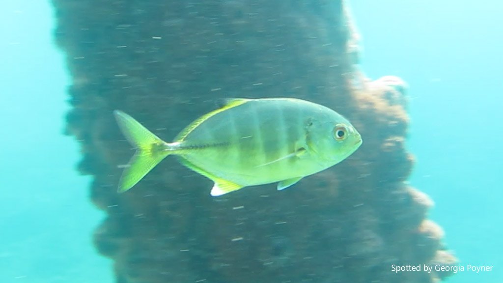
A juvenile Blue trevally (Carangoides ferdau) was reported near Narooma in NSW in April 2016. This species is not normally recorded in NSW.
As divers, we are uniquely placed to help by adding sightings. You don’t have to be an expert on marine life to use the App. For example, if you spot a Red Emperor anywhere in NSW – Redmap would like to know about it. Head to the website and download the App – it’s available on iOS and Android.
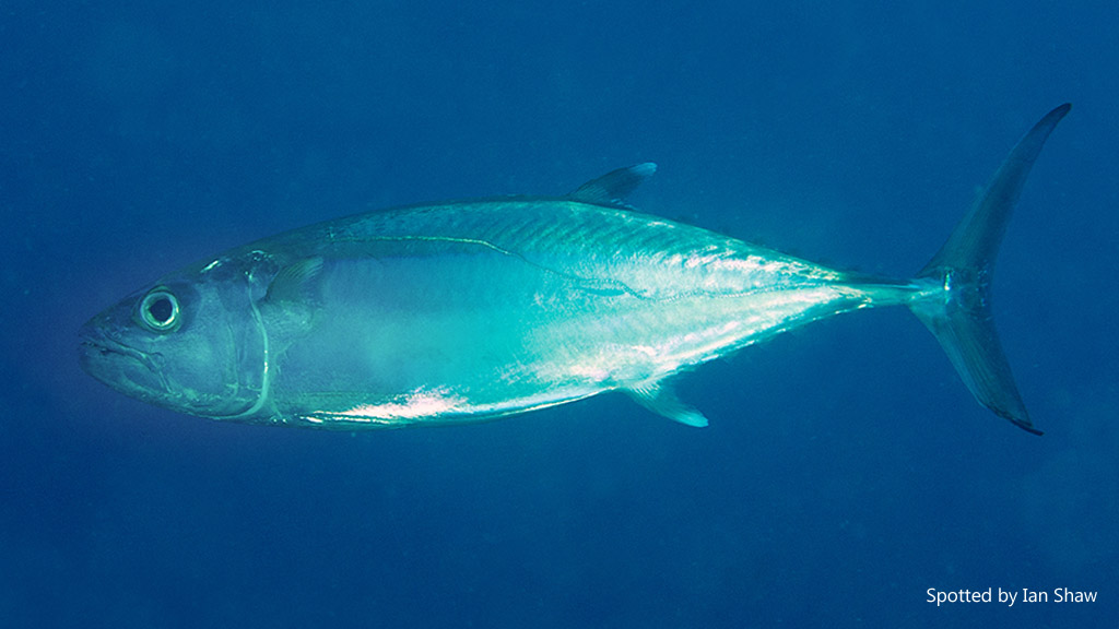
Dogtooth tuna (Gymnosarda unicolor) was observed near Coffs Harbour in August 2016. This species distribution is recorded to Brisbane, so this sighting is over 300km south of this.
The information for this post was kindly supplied by Dr Jemina Stuart-Smith, Research Fellow, Institute for Marine and Antarctic Studies (IMAS), University of Tasmania.
If you liked it, you might also like CoralWatch – another citizen science initiative.

