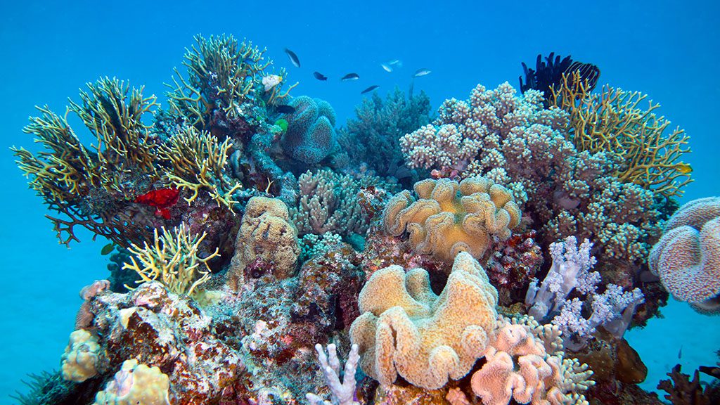
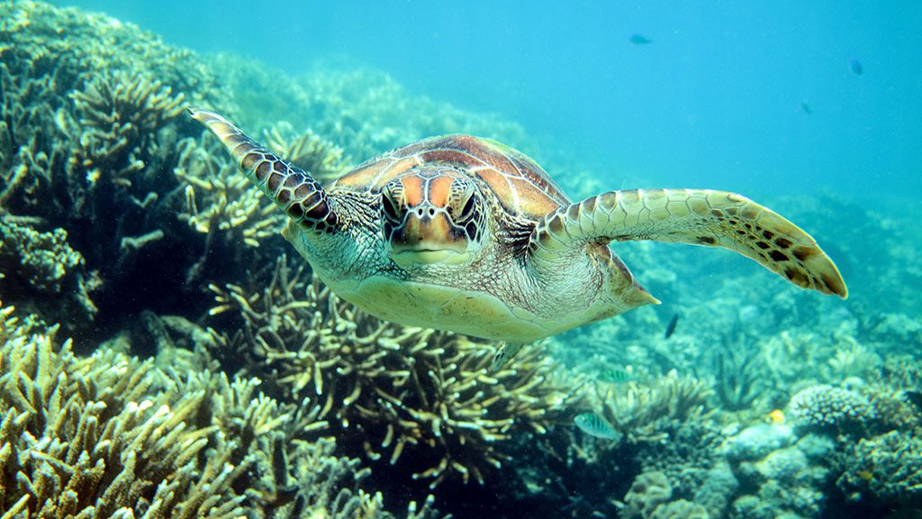
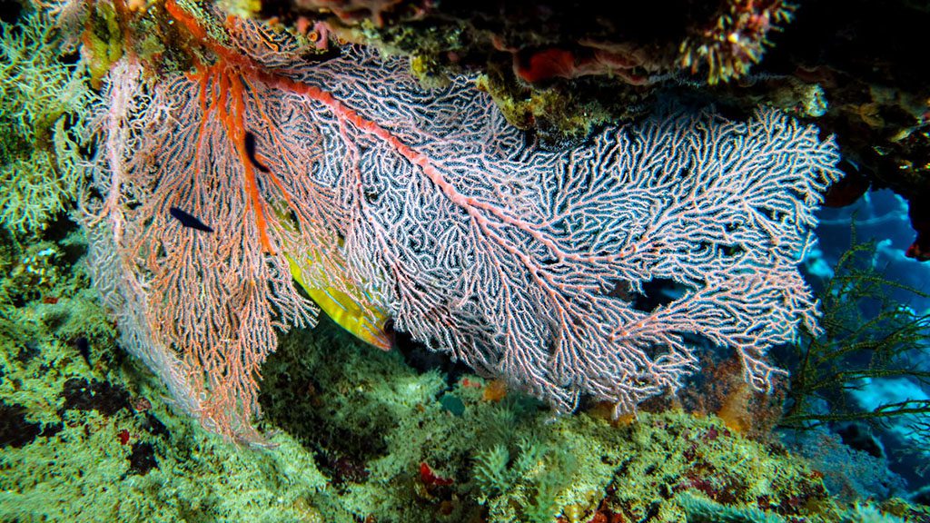
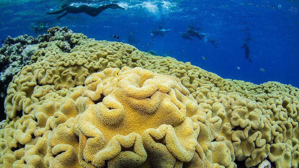
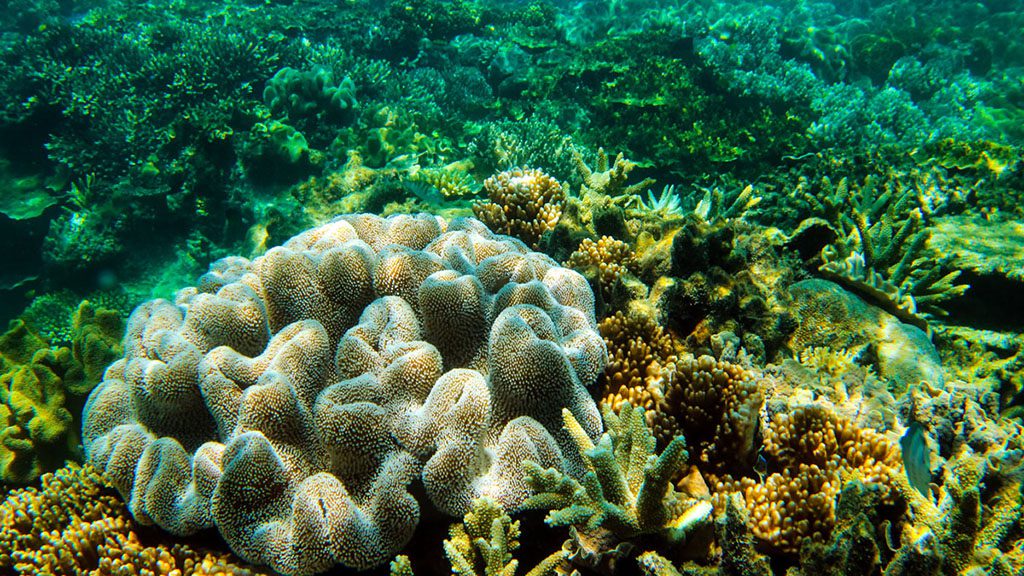
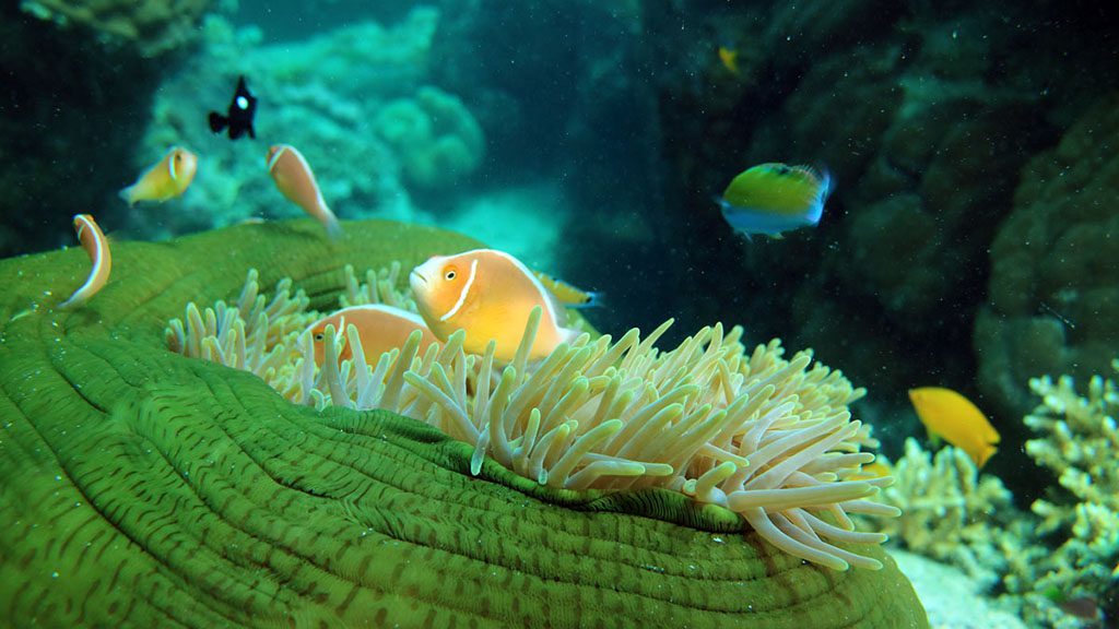
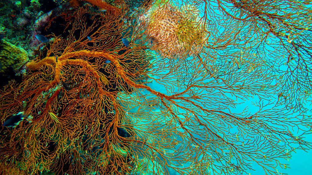
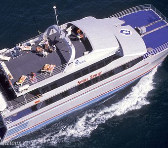
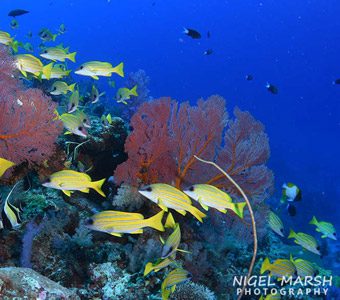
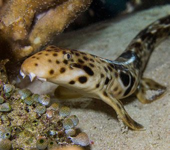
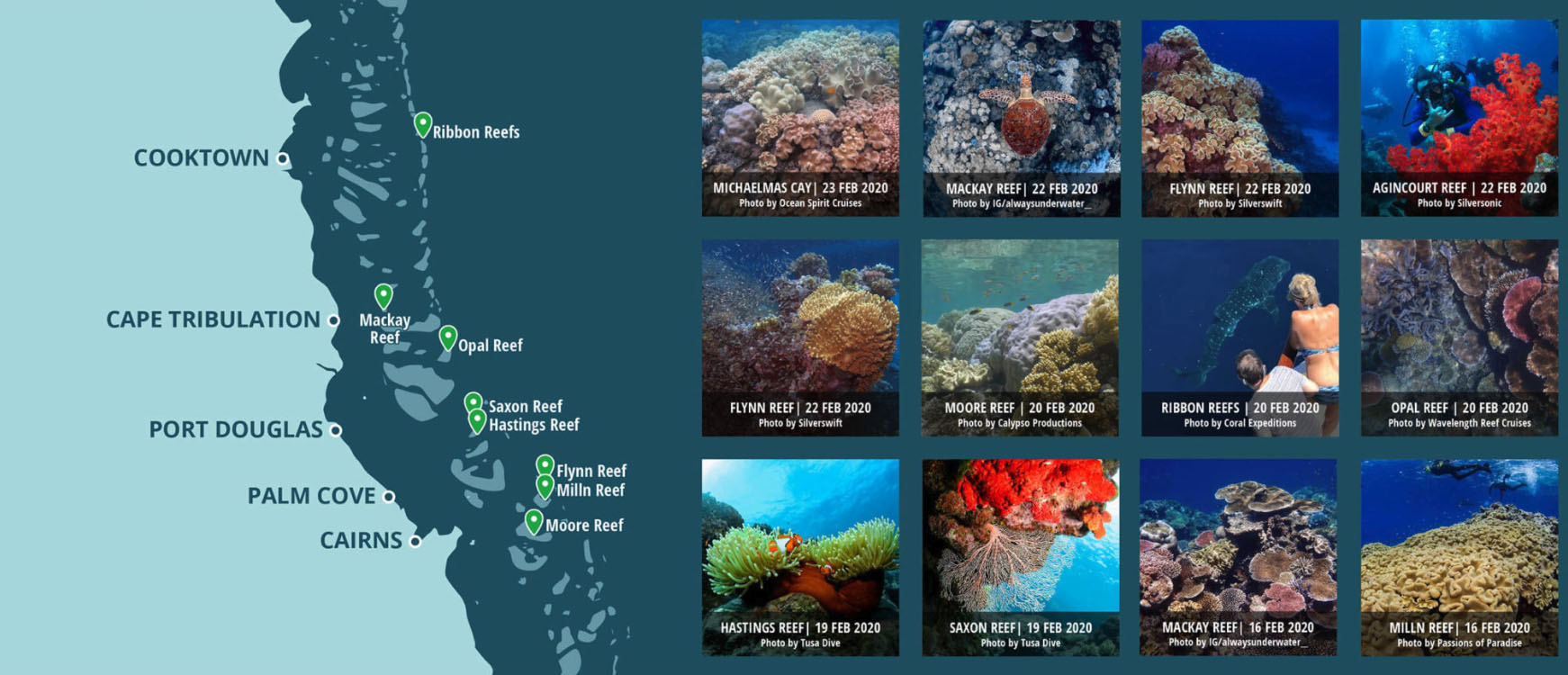
A photographic map showcasing daily underwater vision of the Great Barrier Reef has been launched by Tourism Tropical North Queensland (TTNQ). The images, taken daily by tour operators, snorkelers and divers in the region are captured as part of the Great Barrier Reef Marine Park Authority’s (GRMPA) Eye on the Reef monitoring program.
TTNQ is sharing this information on a map to make it easier for people to see what the reef looks like before they visit. According to Mark Olsen, CEO of TTNQ, the Great Barrier Reef Today map currently shows the main reefs off Cairns and Port Douglas where day tour operators visit and will gradually expand to shows reefs to our north and south.”
Divers are encouraged to use #GreatBarrierReefToday when they post images of the reef and to upload them to the Eye on the Reef app to give a snapshot of what the Great Barrier Reef looks like on that day.
According to Olsen, “Great Barrier Reef Today is another example of operators in the Cairns & Great Barrier Reef region working with the science community by compiling data to give GBRMPA a clear picture of the reef’s health. The first daily natural history records of the Great Barrier Reef were gathered by tourism operator Reef Biosearch in 1986 and these were the catalyst for GBRMPA’s Eye on the Reef program.
“The partnership between tourism and science has continued to grow and last year included a world first IVF program during the annual coral spawn. Operators assisted researchers from Southern Cross University and James Cook University to collect coral eggs and sperm so the coral larvae could be fed and released on the Great Barrier Reef to grow new corals. Numerous other projects involving the Cairns & Great Barrier Reef tourism industry include coral nurseries, coral resettling and using electricity to stimulate coral growth.”
The images below were taken this month on trips with Passions of Paradise, Sunlover, Downunder Dive and Quicksilver.
